Dangerous Routes: Why Hikers in the Mountains Often Get Lost Using Google Maps
Mountain rescue teams warn against using Google Maps for outdoor navigation due to a lack of terrain details and fast-draining batteries.
 🚨Events
Photo: UNIAN
Key points
- Rescuers report an increase in lost hikers relying on smartphone map apps.
- Standard apps lack critical details like elevation contours, cliffs, and mountain paths.
- Constant smartphone use in the wilderness quickly depletes battery life.
- Experts recommend using specialized hiking apps alongside traditional paper maps.
While modern digital technologies have made daily life much easier, transferring urban habits into the wilderness can sometimes lead to serious hazards. Mountain rescue teams are reporting an alarming trend: a growing number of young hikers are getting lost or running into dangerous situations because they rely entirely on smartphone mapping applications. Experts emphasize that the popular service was simply not designed for complex mountain terrain.
Why a Familiar App Fails in the Wild
According to mountain rescue specialists, the main issue is that standard mapping apps do not display steep rock faces, elevation changes, or narrow hiking trails that help visualize a three-dimensional landscape. Accustomed to the reliability of digital assistants in everyday city life, users falsely assume the app works just as well on remote peaks where mobile signals are often absent.
«A map and compass do not cost too much, and the detail of a paper map is crucial for safety», — note experienced outdoor instructors.
Furthermore, relying on a phone for all navigation quickly drains the battery. This creates an additional safety risk, leaving hikers unable to call for emergency help if needed. Professionals recommend combining specialized outdoor hiking apps with traditional paper maps and basic compass skills.
Source UNIAN — unian.ua/tourism/lifehacking/yak-oriyentuvatisya-na-miscevosti-pid-… ↗
Read next
 💡Tech
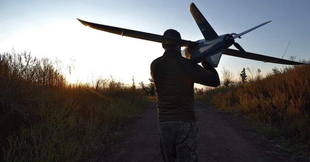
Swedish K200 interceptor drone: new technology to counter jet-powered UAVs
Swedish company Nordic Air Defence has unveiled the autonomous K200 interceptor, developed with Ukrainian partners to neutralize high-speed drones.
 👥Society
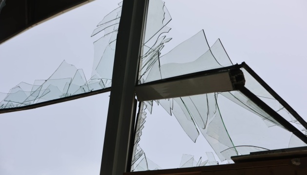
Nighttime drone attack on Kyiv region: Woman injured, houses damaged
A nighttime enemy drone attack in the Bila Tserkva district of the Kyiv region left a woman injured and caused damage to residential buildings.
 🎓Education
American Experience: Why the US Army is Adopting Ukrainian Drone Training Methods
A US Army representative visited the Ukrainian UAV academy Killhouse twice, prompting the US military to adapt its own training programs to real-world conditions.
 🛡️Security
Consequences of enemy attack in Kyiv region: casualties reported
A Russian strike in Vyshneve resulted in one death and three injuries. Civilian infrastructure, including a store, was damaged.
 👥Society
How Much Water to Drink Daily for Healthy Blood Pressure: Cardiologists' Advice
Renowned cardiologists and vascular surgeons explain how proper hydration affects blood pressure and share recommended daily water intake amounts.
 💼Economy
Czech Government Opposes Multi-Billion Aid Package for Ukraine in New EU Budget
Czech Prime Minister Andrej Babiš has criticized the proposed EU long-term budget for 2028-2034 over plans to fund Ukraine and reduce allocations to his own country.